%20V1.png)
Snapshot
Location: Guerrero, Mexico
Ownership: 100%
Status: Development
Metals: Gold
Royalty: 2%
Mine: Underground


Overview
Ana Paula is Heliostar’s flagship development project, expected to add ~100,000oz/yr to the company’s production profile.
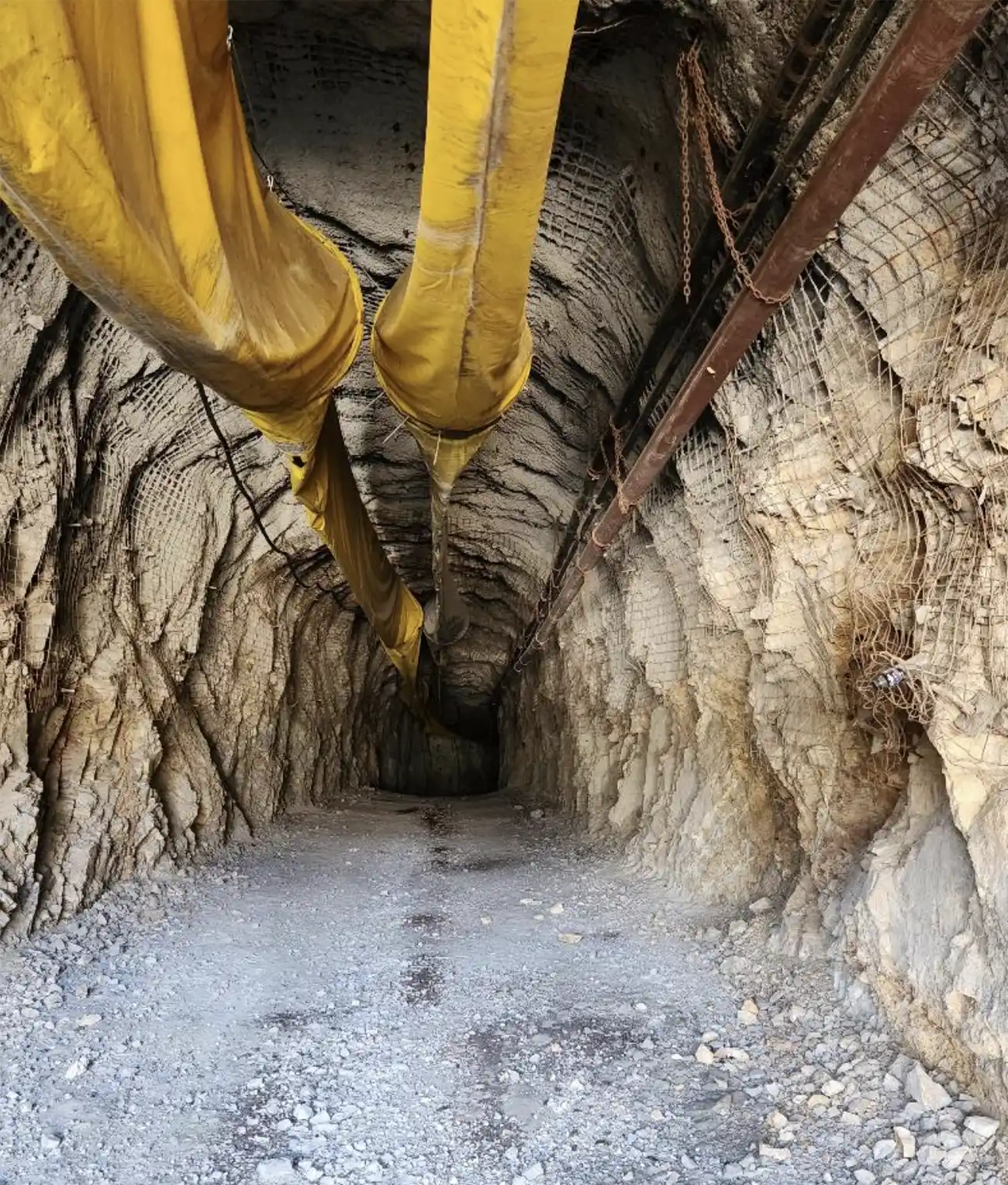
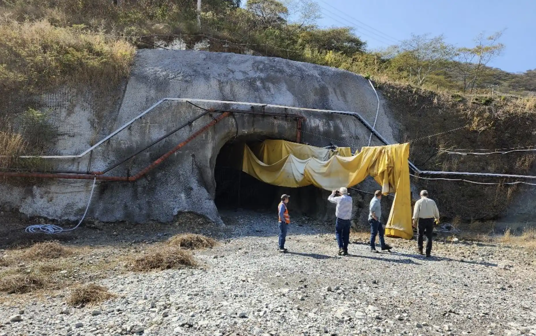
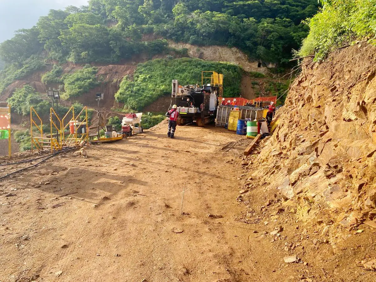
The company acquired the permitted open pit project in 2023for US$10m in cash from Argonaut Gold. Previous operators invested more than$100M in Ana Paula’s exploration and development. This includes a 53-person camp, surface rights, a portal and 412m decline.
The Heliostar team reimagined the mine plan. From the start, they brought the focus to the high grade, bulk tonnage, underground core of the deposit.
A Feasibility Study is ongoing, expected to be released inmid-2026 to support a construction decision. The project sits on an under explored 56,334Ha land package.
History
The area was first mapped by the Mexican Geologic Survey in the 1970s, with that group building an access road to a small mine on the property in 1979. The first company to do field work at the project (stream sediment sampling) was Miranda Mining from 1998-2004. That company was acquired by Wheaton River Minerals in 2003 who was then acquired by Goldcorp in2004. From 2005-2010, Goldcorp conducted a wide-ranging field program that included detailed geologic mapping, road cut sampling, stream sediment sampling, ground and airborne geophysics surveys, and structural studies. They also drilled almost 12,000m across forty-eight holes, centered around a chargeabilty anonomly.
In 2010, Newstrike Capital acquired the project, continuing mapping and geophyiscs work as well as drilling 123,288m to continue to define the deposit.


Location and Infrastructure
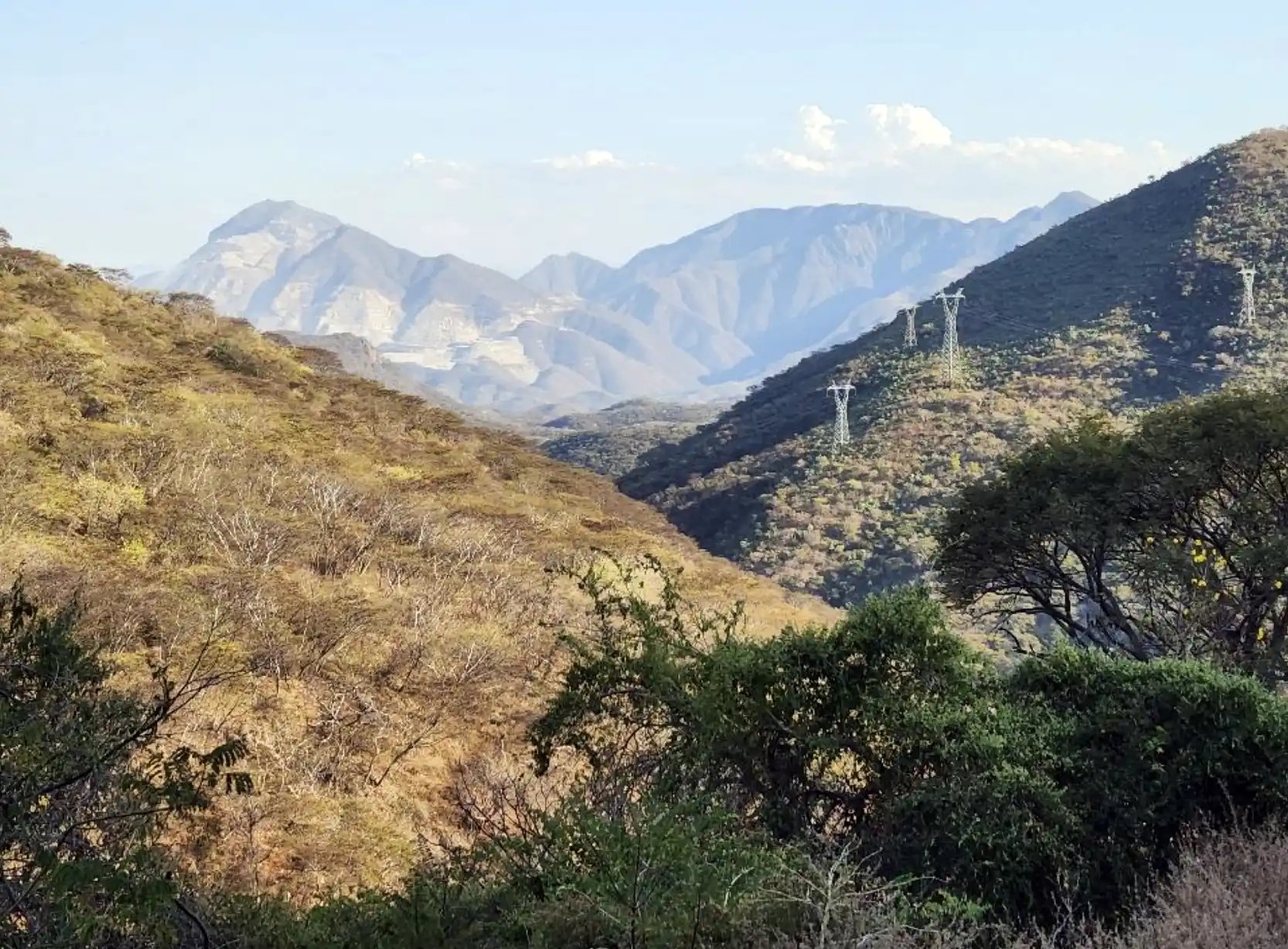
Ana Paula is in Guerrero State, halfway between Mexico City and the Port of Acapulco. It is a four-hour drive from the Mexico City international airport along paved public highways and regional roads, with a well-established dirt road along the last 9 km to the project. The nearest major center is Iguala (pop. 135,000) with all major mining services delivered from there, Acapulco or Mexico City. There is a fully equipped, modern 53-person camp at site, serviced by a low voltage, 2.5km long spur line from a high tension 115kVline and with a stream on the property providing water for drilling operations. The region hosts several active mines, including Torex Gold’s Morelos Complex and Equinox Gold’s Los Filos mine. Morelos is one of the ten largest gold mines in the world.


Resources & Reserve Estimate

Ana Paula has 43-101 compliant resource and reserve estimates in place from an updated 2023 Mineral Resource Estimate.1


Overview
Ana Paula is Heliostar’s flagship development project, expected to add ~100,000oz/yr to the company’s production profile.
The company acquired the permitted open pit project in 2023for US$10m in cash from Argonaut Gold. Previous operators invested more than$100M in Ana Paula’s exploration and development. This includes a 53-person camp, surface rights, a portal and 412m decline.
The Heliostar team reimagined the mine plan. From the start, they brought the focus to the high grade, bulk tonnage, underground core of the deposit.
A Feasibility Study is ongoing, expected to be released inmid-2026 to support a construction decision. The project sits on an under explored 56,334Ha land package.
History
The area was first mapped by the Mexican Geologic Survey in the 1970s, with that group building an access road to a small mine on the property in 1979. The first company to do field work at the project (stream sediment sampling) was Miranda Mining from 1998-2004. That company was acquired by Wheaton River Minerals in 2003 who was then acquired by Goldcorp in2004. From 2005-2010, Goldcorp conducted a wide-ranging field program that included detailed geologic mapping, road cut sampling, stream sediment sampling, ground and airborne geophysics surveys, and structural studies. They also drilled almost 12,000m across forty-eight holes, centered around a chargeabilty anonomly.
In 2010, Newstrike Capital acquired the project, continuing mapping and geophyiscs work as well as drilling 123,288m to continue to define the deposit.


Location and Infrastructure
Ana Paula is in Guerrero State, halfway between Mexico City and the Port of Acapulco. It is a four-hour drive from the Mexico City international airport along paved public highways and regional roads, with a well-established dirt road along the last 9 km to the project. The nearest major center is Iguala (pop. 135,000) with all major mining services delivered from there, Acapulco or Mexico City. There is a fully equipped, modern 53-person camp at site, serviced by a low voltage, 2.5km long spur line from a high tension 115kVline and with a stream on the property providing water for drilling operations. The region hosts several active mines, including Torex Gold’s Morelos Complex and Equinox Gold’s Los Filos mine. Morelos is one of the ten largest gold mines in the world.


Resources & Reserve Estimate

Ana Paula has 43-101 compliant resource and reserve estimates in place from an updated 2023 Mineral Resource Estimate.1


Geology
The Guerrero Gold Belt (GGB) hosts a series of active and historic gold deposits along a 55 km northwest trend. The belt sits along a boundary between an ancient volcanic arc to the west and a marine carbonate platform to the east. The series of prolific gold occurrences are found in calc-alkalic intrusions along this trend with Ana Paula situated at the northwest end of the GGB.
The geology of this area is complicated by folding, faulting and intrusions. The younger intrusive rocks are associated with the mineralization responsible for the gold deposits and showings of the GGB within this structurally complex region.
The mineralization of the High-Grade Panel at Ana Paula occurs in a polymictic breccia, with broad area of low-grade contact replacement and veinlet mineralization as you move away from the breccia body. The High-Grade Panel is an east-west trending, steeply south plunging continuous column that has been heavily silicified by the mineralizing event. The gold occurs as sulphides within this broad area of fractured rock..




Production Plan
Work is ongoing to support a Feasibility Study for release near the end of 2026. The plan is to primarily use the bulk mining method transverse, long hole open stoping. This will take advantage of the favourable rock conditions and bulk tonnage nature of the orebody to keep $/tonne costs low. The company is targeting a production profile of ~100koz/yr on average over the mine's life from a 1,500 tpd plant. Metallurgical testing is on going, but the company is targeting 20-30% gold recovery through gravity concentration with a subsequent floatation and Carbon-In-Leach (CIL) circuit to bring overall gold recovery up to 80%. Heliostar is also evaluating putting a small Bio-Oxidation (BiOx) plant at the end of the circuit to allow some more of the lower grade, refractory material to be opportunistically mined and bring recovery up to the 90% range. Most of the tailings will be returned underground as paste backfill, limiting the surface disturbance.


Growth
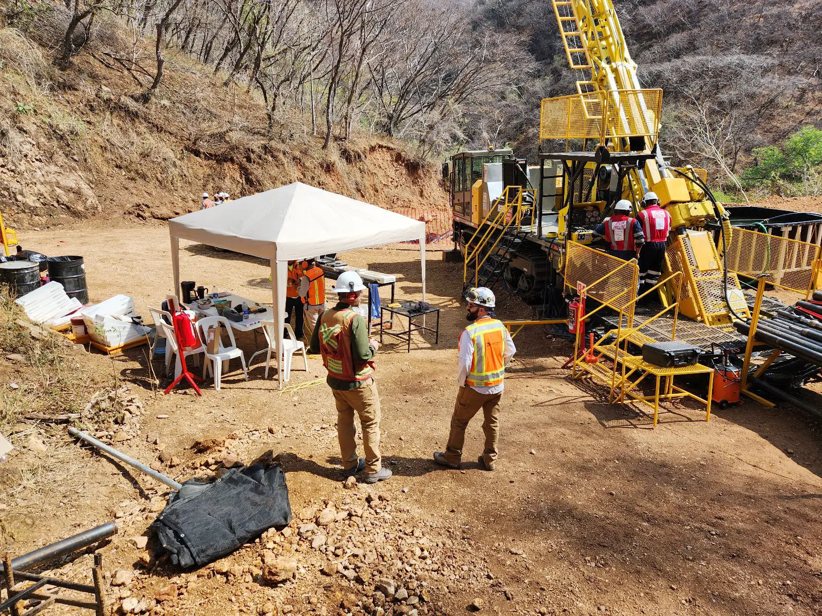
Bringing Ana Paula into production is a key part of Heliostar's corporate growth strategy. The objective of the current drill program is to grow the total resource base to ~1.5Moz and upgrade the Inferred resources. The company is targeting additions of ~200koz from infill and extension drilling at the High-Grade Panel and 100-200koz from the Parallel Panel.
Ana Paula is interpreted to be shallower in the geologic system than the Morelos Complex deposits (15Moz) and Los Filos deposits(12Moz). These deposits are contact skarns around porphyry intrusions compared to Ana Paula being an upper, exhaustive part of the system. Previous owners have done some limited drilling at depth showing high grade mineralization continues down plunge. Once the underground decline is competed (as part of the plan to advance into production), the company intends to follow up on these high-potential deeper targets.
Gold intercepts to the north of the Parallel Panel are open for expansion, indicating there may be additional sub-parallel panels of mineralzation around the Ana Paula underground project.
Little exploration has been done across the broader 56,433haland package beyond the immediate project area. Heliostar intends to do the greenfields exploration work (airborne geophysics surveys, mapping, soil sampling, etc.) to evaluate the potential for additional deposits on the property.


Technical Disclosure
All technical information on the Ana Paula Project is basedon a technical report entitled “Ana Paula Project NI 43-101 Technical ReportMineral Resource Estimate Update Guerrero, Mexico” with an effective dateof November 27, 2023, filed on SEDAR by Heliostar on January 11, 2024 (the “AnaPaula Technical Report”). Thetechnical report for the Ana Paula Project was prepared for Heliostar MetalsInc. by Mr. Lewis teal, CPG, Ms. Rita Teal, CPG. and Andrew Kelly, P.Eng. andall are independent of the Company
Ana Paula NI 43-101 Mineral Resource Technical Report


